

Platform
Rhode Island Real Estate Land Records & Tax Assesors
Easily access Rhode Island land records, tax assessor databases, GIS, zoning, and plat maps—all in one place. Your one-stop resource for property records and real estate information across Rhode Island.
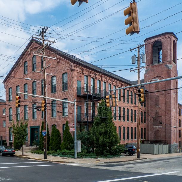
Central Falls, Rhode Island
Central Falls, Rhode Island, is the smallest city in the state, covering just 1.29 square miles, but it holds a wealth of history and culture. With a population of roughly 22,583, it is also one of the most densely populated cities in the U.S., ranking second in New England.
Resources:
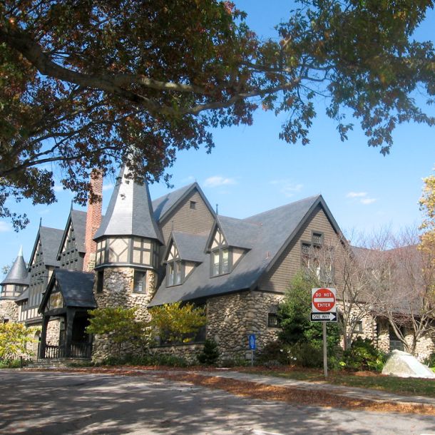
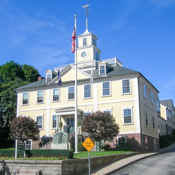
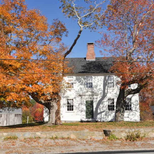
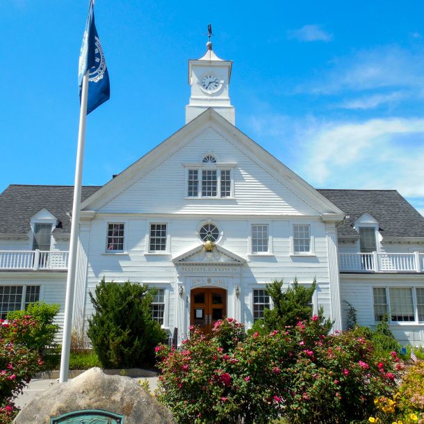
Charlestown, Rhode Island
Charlestown is a town in Washington County, Rhode Island, with a population of approximately 7,997. Incorporated in 1738 and named after King Charles II, Charlestown was originally part of Westerly, with the area north of the Pawcatuck River becoming Richmond in 1747.
Resources:
Cranston, Rhode Island
Cranston, Rhode Island, is a vibrant and diverse city with a rich history, a mix of residential and commercial areas, and a strong sense of community. It was founded in 1754 and named after Samuel Cranston, a governor of the Colony of Rhode Island and Providence Plantations.
Resources:
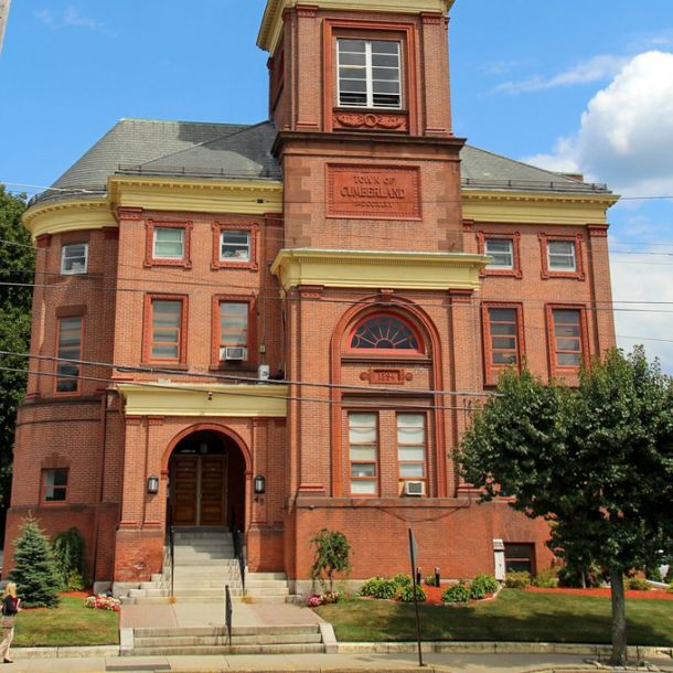
Cumberland, Rhode Island
Cumberland, Rhode Island, is a picturesque town with a rich history, diverse neighborhoods, and a blend of suburban and rural landscapes. It was originally settled in the 17th century and officially incorporated as a town on November 27, 1746.
Resources:
Exeter, Rhode Island
Exeter, a town in Washington County, Rhode Island, spans from the Connecticut border to North Kingstown, bordered by West Greenwich, East Greenwich, Hopkinton, Richmond, and South Kingstown. With a population of approximately 6,460.
Resources:

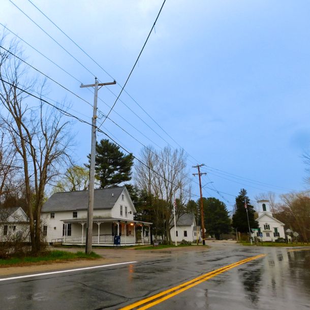
Foster, Rhode Island
Foster, Rhode Island, is a rural town with a rich history, natural beauty, and a close-knit community. Foster was incorporated as a town in 1781, deriving its name from Judge Theodore Foster, a prominent figure in Rhode Island’s colonial history.
Resources:
Glocester, Rhode Island
Glocester, Rhode Island, is a rural town known for its picturesque landscapes, historic charm, and a strong sense of community. Glocester was originally settled in the 17th century and was officially incorporated as a town in 1730.
Resources:


Little Compton, Rhode Island
Little Compton is a charming coastal town in Newport County, Rhode Island, bordered by the Atlantic Ocean and the Sakonnet River. With a population of approximately 3,589, it nearly doubles during the summer due to tourism.
Resources:
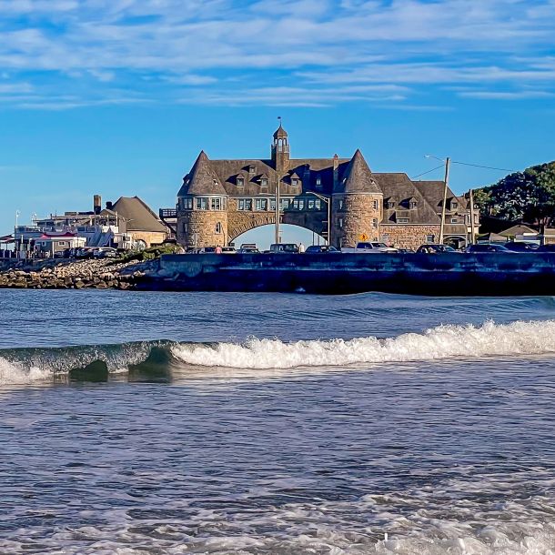
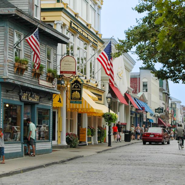
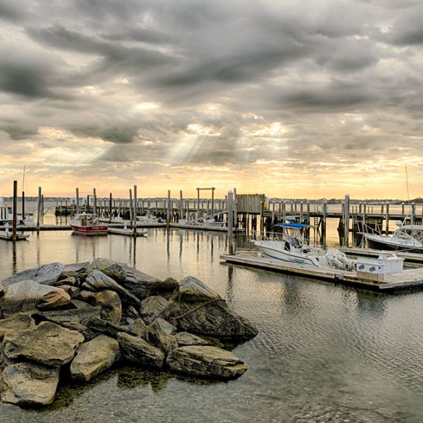
Newport, Rhode Island
Newport is a scenic seaside city on Aquidneck Island, renowned for its historic mansions, sailing history, and as a New England summer destination. It has a population of about 25,000 and boasts significant historical landmarks.
Resources:
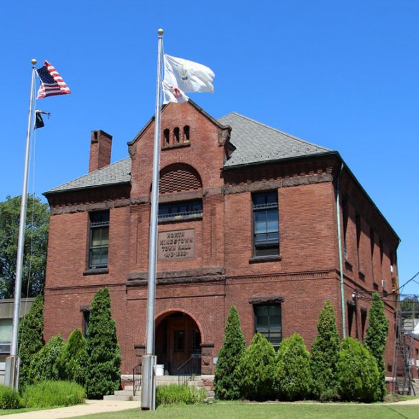
North Smithfield, Rhode Island
North Smithfield, Rhode Island, is a town distinguished by its historic charm, scenic landscapes, and a blend of suburban and rural character. It was initially settled in the 17th century, and it was officially incorporated as a town on March 30, 1871.
Resources:


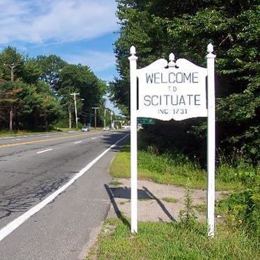
Scituate, Rhode Island
Scituate, Rhode Island, is a town characterized by its rural landscapes, historical significance, and community spirit. Scituate was originally settled in the 17th century, and it was officially incorporated as a town on November 24, 1730.
Resources:

Tiverton, Rhode Island
Tiverton is a town in Newport County, Rhode Island, with a population of 16,359 as of the 2020 census. Located on the eastern shore of Narragansett Bay, it shares its landscape with Little Compton and features scenic views along a granite ridge.
Resources:
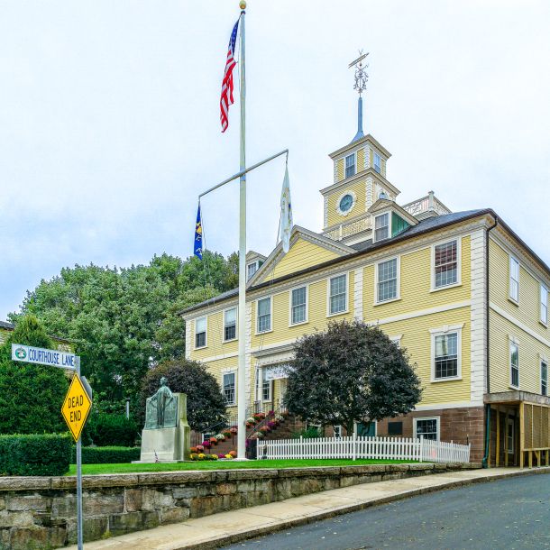
Warwick, Rhode Island
Warwick, Rhode Island, is a vibrant city situated on the Narragansett Bay, known for its historical significance, diverse neighborhoods, and proximity to the T.F. Green Airport. Warwick, one of the oldest cities in the United States, was founded in 1642.
Resources:
West Greenwich, Rhode Island
West Greenwich, Rhode Island, is a town known for its rural charm, natural beauty, and historical significance. West Greenwich was officially incorporated as a town on February 20, 1741. It was formed from the western part of the town of East Greenwich.
Resources:
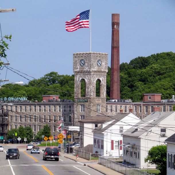
West Warwick, Rhode Island
West Warwick, Rhode Island, is a town with a rich industrial history, diverse neighborhoods, and a community-oriented atmosphere. West Warwick was established as a town on March 14, 1913, when it separated from the neighboring town of Warwick.
Resources:
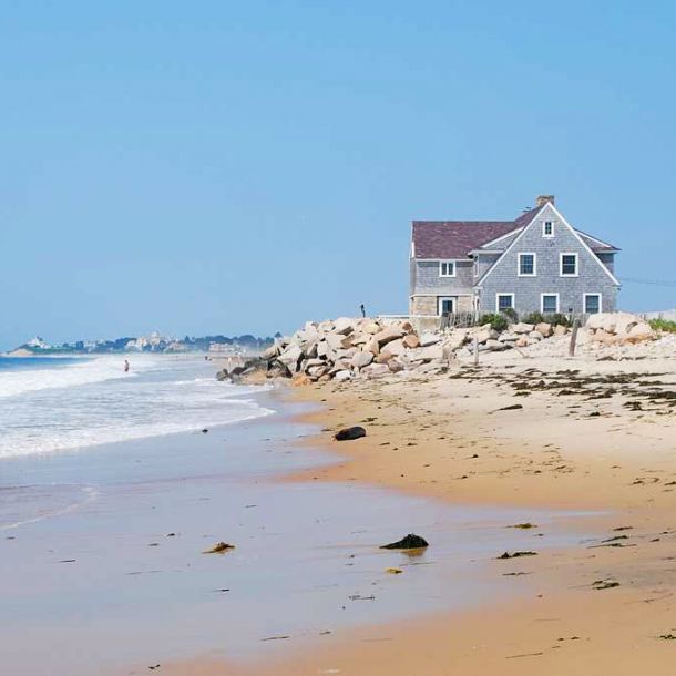
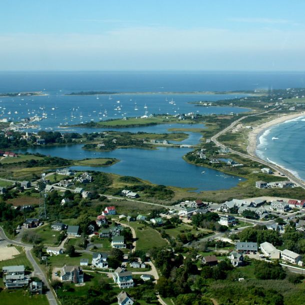
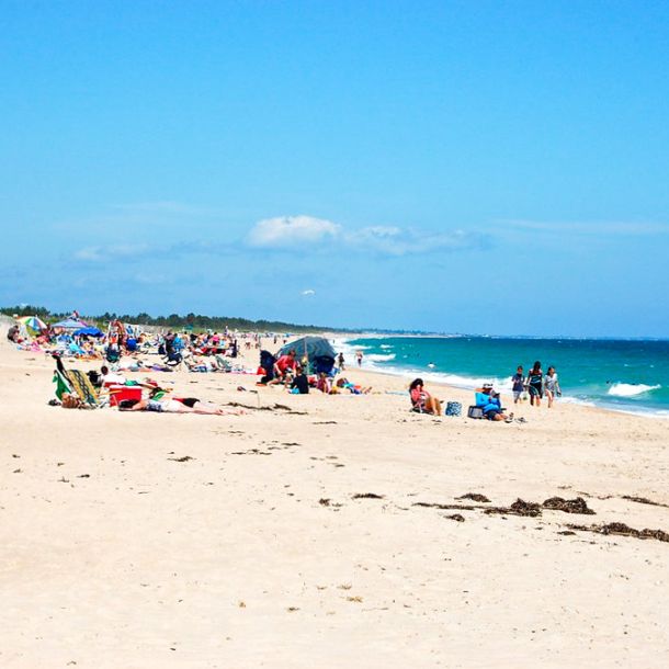
Westerly, Rhode Island
Westerly is a coastal town in Washington County, Rhode Island, with a population of approximately 23,359. Known for its beautiful beaches like Misquamicut State Beach, Watch Hill Beach, and Weekapaug Beach, it’s a popular summer destination, nearly doubling in population during the season.
Resources:
Plat Maps
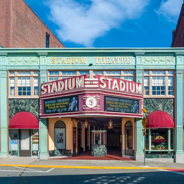
Woonsocket, Rhode Island
The history of Woonsocket, Rhode Island, is a city with a rich industrial story, cultural diversity, and a vibrant community spirit. It was settled in the 17th century and officially incorporated as a city on January 31, 1888.
Resources:
Additional Resources
Attorney Directory • Property Search • Contractor Board • Conveyance Tax • Corporations • Criminal Check • DEM • DEM/GIS • EPA • E-Permits • Flood Maps • Historic Register • Landlord-Tenant Handbook • Lead Paint Status • Neighborhoods • Professional Licenses • Property Tax Rates • Real Estate Agents • Recording Fees • Septic/Cesspool • Smoke/CO's • Tax Years • Wetland Permits • Sell Your House
Massachusetts Resources
Attorney Directory • Corporations • Criminal • GIS • Land Evidence • Lead Paint • Tax Info • Towns
Rhode Island land records, Rhode Island tax assessor, RI property records, Rhode Island property search, Rhode Island deed records, RI tax assessor database, Rhode Island real estate records, Rhode Island GIS maps, Rhode Island plat maps, Rhode Island zoning maps, RI public property records, Rhode Island property lookup, RI assessor property search, Rhode Island title search, RI property tax lookup, Rhode Island municipal records, Rhode Island town land records, RI city and town tax assessors, Rhode Island property ownership records, Cumberland RI tax assessor, Providence RI land records, Warwick RI property search, Cranston RI tax assessor database, Pawtucket RI land records, Woonsocket RI property records, Rhode Island county land records, RI town plat maps